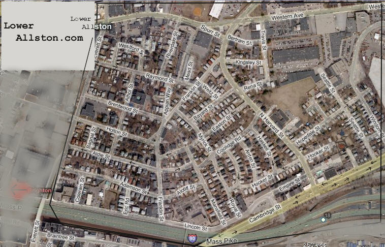
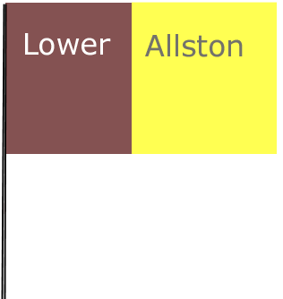
Streets In Lower Allston By Name:
| Lower Allston,
or "L.A.," is also called North Allston. Lower Allston is the
neighborhood across the Massachusetts Turnpike from the rest of
Allston. It consists of streets north of Cambridge Street and
the Pike, all the way to the Charles River. To the west it
stretches to Everett Street and includes as far east as Windom
Street. Everyone in Lower Allston has the zip code 02134. Lower Allston is a small neighborhood that consists of a mix of working professionals, home owners, and long-term residents. Unlike the rest of Allston, Lower Allston has much fewer students. |
The neighborhood is very quite,
has extremely low crime, and is an easy walk to Allston Village or
Harvard Square.
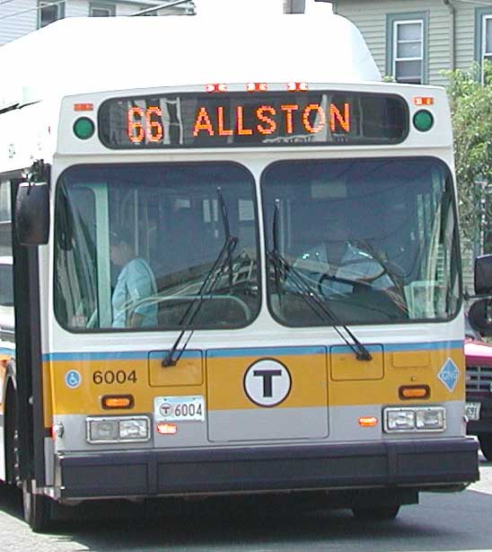
Lower Allston has close proximity to Route 2, the Mass Pike, Storrow Drive, and Soldier's Field Road. Public transportation includes the Red Line at Harvard Square, the Green Line at Packard's Corner or Harvard Street and Commonwealth Avenue in "upper Allston", and the 57, 66, 70, 71, and 86 bus connections on North Harvard and Western Avenue are about a 2-5 minute walk for everyone.
|
Streets In Lower Allston By Name:
|
|
|
|||||||||||||||||||||||||||||||||||||||||||||||||||||||||||||||||||||||||||
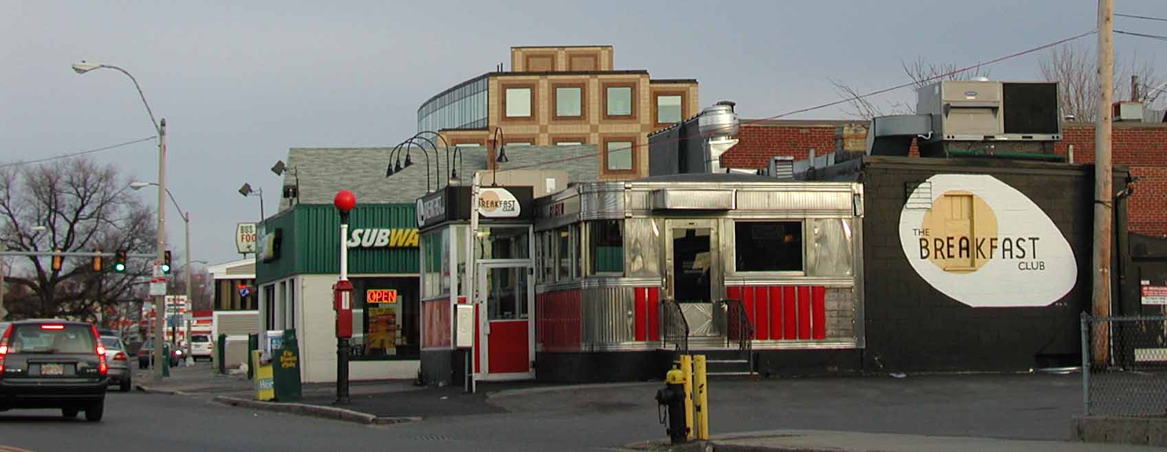
Businesses In Lower Allston Included
in this link
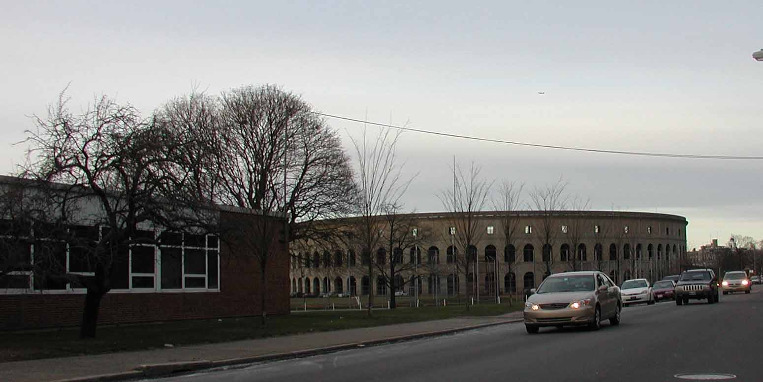
Harvard Stadium
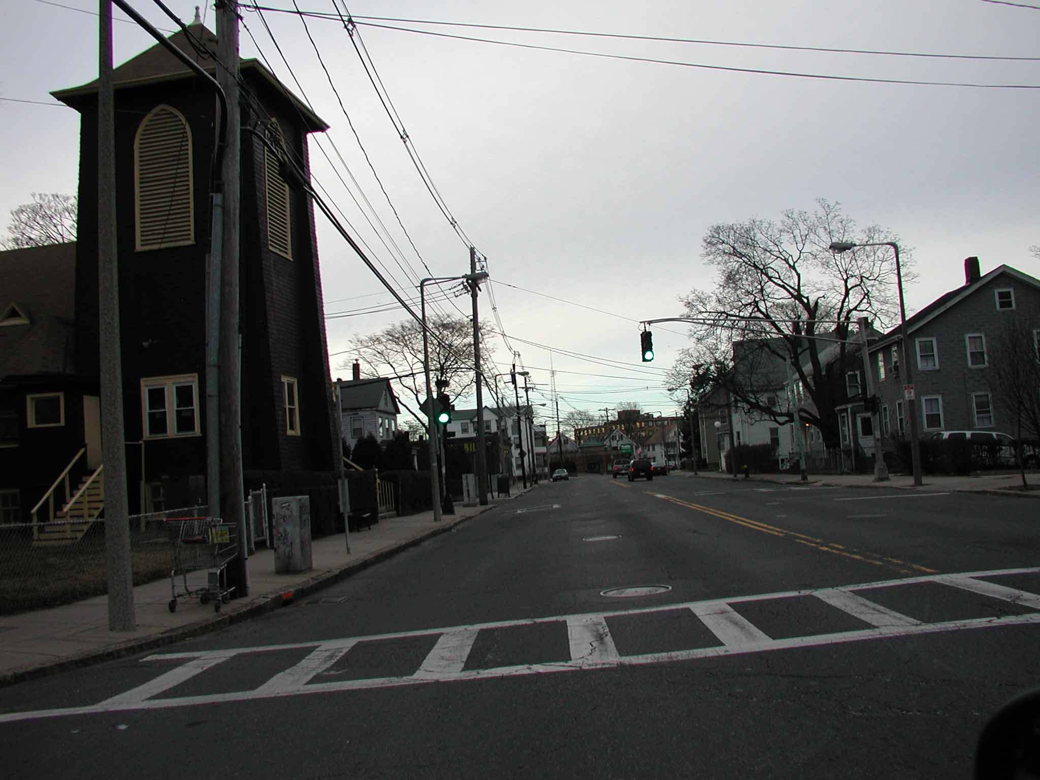
North Harvard Street
Western Avenue
66 Bus
(c) 2005 - 2011 All Rights Reserved -
lowerallston.com